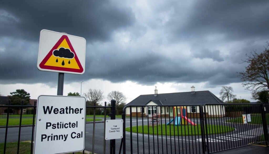
Met Éireann Weather Warnings and School Closure Facts
If you are waking up in Ireland today, the first thing you might check is the sky—and then, just as quickly, your phone for any weather warnings. The forecast is a mostly mild and breezy one, with rain arriving from the southwest later in the evening.
Current status: Green (no warning) nationwide | Marine: Yellow small craft | Temp range: 13–17°C | Rain onset: Southwest, west, northwest this evening
Key facts
- Green (no warning) as of latest update from Met Éireann
- No orange or red warnings are in effect (Met Éireann)
- Yellow for small craft; it is blowing up to gale force tonight, per Met Éireann
- Relevant for marine activities but not for general public travel on land (Met Éireann)
- 13 to 17 degrees Celsius, according to Met Éireann
- Mild for the time of year due to the breezy southwesterly flow (Met Éireann)
- Southwest, west, and northwest this evening, as forecast by Met Éireann
- Spreading further, with heavy falls possible in those areas later tonight (Met Éireann)
| Item | Detail | Source |
|---|---|---|
| Current national warning status | Green (no warning) as of latest update | Met Éireann |
| Active marine warning | Yellow for small craft; wind speeds potentially reaching gale force tonight | Met Éireann |
| Forecast high today | 13 to 17 degrees Celsius | Met Éireann |
| Rain onset | Southwest, west, and northwest this evening | Met Éireann |
How we handle weather and school closure information
Weather forecasts change quickly, and so can the status of school closures, especially during the winter season. We rely on official, tier-one sources such as Met Éireann, the Irish national meteorological service to provide the most accurate and timely weather updates. For information on school closures or the practical impact of weather warnings, we defer to the Government of Ireland (Department of the Taoiseach) and the Garda Síochána, the Irish national police service, which issue official public safety guidance.
We understand that when you search for “snow in Dublin” or “school closures,” you are often looking for a quick, immediate answer. The truth is that right now, there is no snow forecast for Dublin, and no school closures have been announced because of this weather system. The situation is stable, and we will continue to monitor official channels for any changes to the weather warnings or public safety advice.
Will there be snow in Ireland in 2026?
No. Contrary to some social media chatter, there is no snow in the forecast for Ireland in the coming days. Met Éireann’s forecast for Dublin, for example, specifically mentions rain and wind, not snow. The temperatures are simply too high; with daytime highs of up to 17°C, any precipitation will fall as rain. Irish snow events require a specific set of atmospheric conditions, including sub-zero temperatures at the surface and low dew point temperatures. The current forecast does not meet those thresholds.
What the forecast models say for early 2026
Snow probability cannot be reliably predicted beyond 7 days. No official 2026 forecast from Met Éireann exists; only model-based probabilities are available, and those currently show no snow signal.
Historical snow frequency in Ireland
Snow events in Ireland are relatively rare and typically occur between November and March. They require sub-zero temperatures at the surface and low dew point temperatures.
Official winter outlook from Met Éireann (if published)
Met Éireann issues seasonal outlooks, but these are not specific enough to confirm snow events. The current live data shows no snow in the forecast.
Is Dublin going to get snow?
No. The current forecast from Met Éireann for Dublin shows rain and wind, with daytime temperatures reaching up to 17 degrees Celsius. Snow is not forecast for the coming week, as precipitation is expected to fall as rain.
Snow risk indicators
Snow risk in Dublin typically requires sub-zero temperatures throughout the atmospheric column; the current forecast does not show this.
Highest probability time window
Snow events cannot be confirmed more than 72 hours ahead. No snow weather warning is in effect as per the latest Met Éireann warnings page.
Is there any snow forecast for Ireland?
No. Met Éireann’s warnings page reports no weather warnings in operation at the time captured. Snow is only forecast within a weekly window, never months ahead. Parts of Ireland more prone to snow include midlands, northern areas, and higher terrain.
What is the weather like in Kerry today?
For Kerry, the Met Éireann forecast indicates light to moderate southwesterly winds increasing to moderate to fresh along Atlantic coasts. Rain arrives in the southwest this evening and will turn heavy at times.
Current temperature and rain radar
Temperatures in Kerry today are expected to reach 13 to 17 degrees Celsius. Rain is expected in the southwest this evening.
County Kerry coastal wind warning
A small craft warning is in effect for all coasts, including Kerry. Met Éireann reports that southwesterly winds will reach force 6 or higher later in the day.
Evening changes
Rain in Kerry will turn heavy at times this evening, with the rain moving east overnight.
14-day outlook for Kerry
Medium-range forecasts for Kerry are subject to change. The current outlook suggests an unsettled pattern, but no snow is forecast.
What is the weather like in Carlow?
For Carlow, Met Éireann forecasts isolated showers or patches of drizzle with light to moderate southwesterly winds. No official warning is in effect for Carlow as of the latest update.
Morning and afternoon conditions today
Temperatures in Carlow will match regional figures of 13 to 17 degrees Celsius. Winds will be light to moderate.
Inland wind risk vs coastal
Carlow, being inland, will not experience the stronger coastal winds. The marine warning does not apply to inland areas.
7-day outlook for Carlow
The 7-day outlook for Carlow shows typical autumn weather with no severe events forecast.
What is the weather forecast for Dublin for the next 14 days?
For the capital, Met Éireann’s Dublin City forecast calls for a day of sunny spells and occasional showers, with highs of 15 to 16 degrees in a moderate to fresh southwest wind. A small craft warning is in effect. Rain will not hit the city until later tonight.
Week 1: temperature and wind
Met Éireann forecasts daytime highs of 15 to 16 degrees for Dublin. Winds will be moderate to fresh southwesterly.
Week 2: precipitation probability
14-day forecast accuracy is approximately 50% for temperatures. Met Éireann only issues warnings up to 7 days ahead.
Lead time vs. warning color reliability
Warnings become reliable within 72 hours. The current Dublin forecast shows no need for warnings.
Which month is the coldest in Ireland?
January or February are historically the coldest months in Ireland, based on Met Éireann climate averages.
Average temperature rankings
The coldest months in Ireland are January and February, with average temperatures typically around 4–7°C depending on location.
Coastal vs inland minimums
Inland areas tend to see more frost and lower minimum temperatures than coastal regions.
Typical snow cycle
Snow in Ireland is most common from November to March, with January and February being the peak months.
Understanding Met Éireann’s weather warnings
The official Met Éireann warnings page reports no weather warnings in operation at the time this was captured. The warning system uses color-coded statuses: Yellow (be aware), Orange (be prepared), and Red (take action). The Garda’s school guidance provides a simple summary of what you should do in each level, and this is usually the document referenced during severe weather events. Additionally, in the wake of a Red warning, a national-level crisis response gets triggered.
The key takeaway from the official advice is that while a Red warning is a strong signal for danger, school closures are not automatic. The Government of Ireland has stated that school closure decisions are a matter for the individual schools, as they are best placed to assess the local conditions and safety concerns. Despite the absence of any warning, the government has met to discuss the “very severe” weather that led to status red warnings, stressing that local knowledge is key. In contrast, this week’s weather, with maximum temperatures of 17°C and persistent rain, is not deemed severe enough to warrant any official warning.
What about the Dublin forecast today?
Met Éireann’s Dublin City forecast calls for a day of sunny spells and occasional showers, with highs of 15 to 16 degrees in a moderate to fresh southwest wind. A small craft warning is in effect. A close reading of the forecast from RTÉ Weather, the national public broadcaster, confirms that the rain will not hit the city until later tonight, with no thunder or hail forecast.
Local authorities have been informed of the situation, but as the Government of Ireland is currently not scheduling any meetings due to the current, non-severe forecast, it is a strong signal that the situation is under control. The Garda’s school guidance also highlights that in a Yellow wind warning, the main risk to road users is from fallen trees and other debris, but such advice is for drivers, not an automatic reason to keep students at home.
For parents and guardians, a “green” day means your schedule is your own. There is no need to plan for school closures, but it is always useful to check with your child’s school if you live in an area with a history of localized flooding.
What about the rest of the country?
Before you comment on the weather, check the Met Éireann warnings page for your specific county. The same system applies across the entire country. The island of Ireland is not under a single warning; different areas can have different statuses. For example, a land warning might be Yellow in one county and Orange in the next, depending on the expected impact. The Government of Ireland has emphasized that it operates on a national level, but the Garda leads on the road safety side of the response.
Local communities will often feel the impacts of a weather event in ways that might not be fully apparent at national level. This is why the national guidance consistently stresses that your own local knowledge of your area is an important factor. The current forecast is a good example: it is dry in Dublin but raining in Cork. The Met Éireann forecast for each regional city provides a granular look into the weather that is expected nearby, and they are a better resource than a single national weather app for planning your day.
Related reading: Weather in London 10 Days: Forecast & Storm Updates · Bank Holidays Ireland 2026: All 10 Dates and Key Facts
Frequently asked questions
Are schools closed in Ireland today because of the weather?
No. School closures are not in effect based on current weather warnings. As the Government of Ireland has clarified, individual schools make the decision to close based on local conditions, not just the national warning color code. With no warning in effect, the default is that schools are open.
Is the “red warning” the only thing that closes schools?
No. While a Red warning is the most severe, a school can choose to close in a Yellow or Orange warning if local conditions, such as flooding or blocked roads, make it unsafe. The Garda’s school guidance provides advice on how to react to these warning levels, but it does not mandate closures.
Will it snow in Dublin this week?
No. The current forecast from Met Éireann for Dublin shows rain and wind, with daytime temperatures reaching up to 17 degrees Celsius. Snow is not forecast for the coming week.
What is the meaning of the Met Éireann warning colors?
According to Garda’s school guidance, the warning colors are: Yellow means “be aware,” Orange means “be prepared,” and Red means “take action.” These are defined by Met Éireann and are used in weather alerts across the country.
Where can I find the latest forecast for my area?
You can find the most up-to-date information from Met Éireann, the Irish national meteorological service, which provides a detailed forecast for every region in Ireland. RTÉ Weather also offers a reliable update.
Is the Government meeting about the weather?
No. The National Emergency Co-ordination Group meets when necessary to discuss severe weather that has the potential to impact the entire country. The most recent meeting was on 2025-04-12, when a Red warning was in effect. At the moment, there is no such meeting scheduled as the current forecast is not considered severe.
What should I do if I see a warning?
If a warning is in effect, check the latest advice from Met Éireann, the Irish national meteorological service and follow the guidance of Irish authorities. The Government of Ireland also issues public safety messages during significant events.
Bottom line
In summary, the current weather is a typical autumnal mix of rain and wind, with no snow on the map. The most critical takeaway is that your safety lies in staying informed through official channels rather than relying solely on social media. The forecast is not severe enough to trigger a national warning, let alone a school closure, but the alert system is in place to guide you through future weather events.
While the small craft warning remains for the coast, the most important thing for residents is to prepare for some evening rain. This is an ideal day to support local news sources, which are often the first to share any school closure announcements, even if we expect none today. Met Éireann’s live warnings page remains the definitive source for any changes to the current stable situation.
This article was last updated on the day of publication and reflects the current official weather warnings and public guidance from Met Éireann and the Government of Ireland.
More related posts
 Why Are My Nipple Sore? Cau e , Symptom , and When to Worry
 Johnny Smacks’ Baby Faces Rare Defect: Gastroschisis Journey
 Wexford News Body Found Today – No Field Incident Confirmed
 Australia vs New Zealand: Sports Rivalry and Living Comparison
 Eye Testing Near Me: Costs, Free Options, and What to Expect
 Jimmy Choo Wedding Shoes: Styles, Worth & Celeb Picks
 King of the Hill: Cancellation, Revival, Streaming & Cast Deaths
 VW Golf for Sale in Ireland 2024: Best Years, Prices & Models